
YouTube Video of the demolition of Wilson Auditorium
Retrospective about Wilson Auditorium

Although peneplaination may be an archaic concept, that doesn't necessarily mean it's wrong. I am not a great believer in the concept of peneplaination but a department founded by Nevin Fenneman at the University of Cincinnati should, at the very least, have some mention of denudation chronology and the Lexington Peneplain.
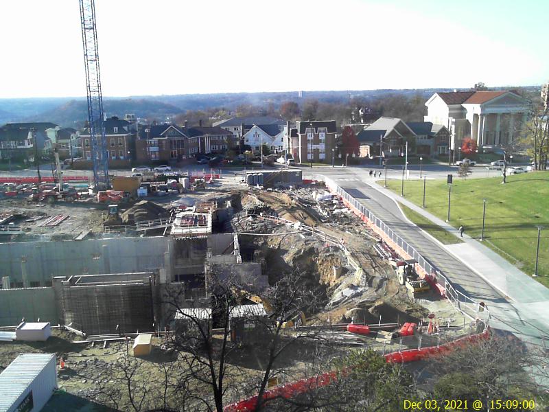
The picture above (updated hourly) is taken with a webcam mounted against my office window looking west. Clifton Avenue is in the foreground and the remarkably flat top of Western Hills is seen in the background on the horizon. This surface was interpreted by Fenneman as the Lexington Peneplain, a Pre-Pleistocene erosional plain.
This surface corresponds to the largest peak of the Cincinnati elevation histogram and broad high area of the hypsometric curve as discussed here.
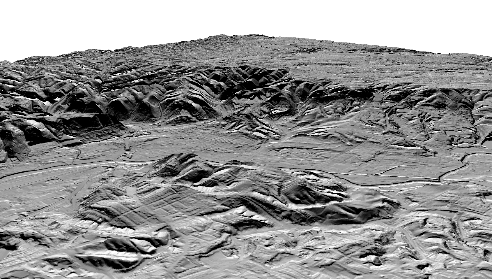
The ArcScene drape diagram above (3x vertical exaggeration) was generated from 1/9 arc-second DEM data downloaded from the USGS National Map Viewer. These data were generated from LiDAR data flown by the state of Ohio in 2006. The vantage point is about a kilometer east of the webcam vantage point but much higher. The view is to the WNW.